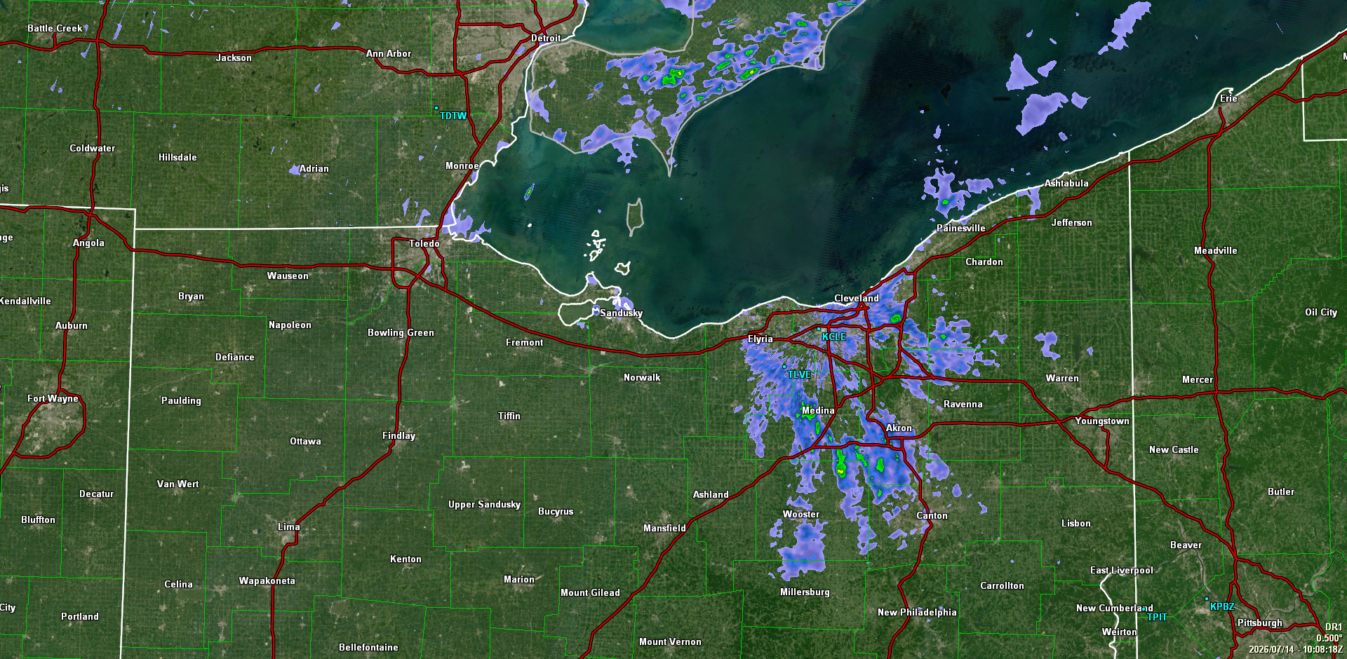
NW Ohio Alerts
Heat Advisory
Area: Lucas; Wood; Ottawa; Sandusky; Erie; Lorain; Cuyahoga; Hancock; Seneca; Huron
Headline: Heat Advisory issued July 14 at 4:09AM EDT until July 14 at 8:00PM EDT by NWS Cleveland OH
* WHAT...Heat index values up to 101 expected.
* WHERE...Erie, Huron, Lorain, Cuyahoga, Hancock, Lucas, Ottawa,
Sandusky, Seneca, and Wood Counties.
* WHEN...From noon today to 8 PM EDT this evening.
* IMPACTS...Hot temperatures and high humidity may cause heat
illnesses.
Instructions:
Drink plenty of fluids, stay in an air-conditioned room, stay out of
the sun, and check up on relatives and neighbors.
Take extra precautions when outside. Wear lightweight and loose
fitting clothing. Try to limit strenuous activities to early morning
or evening. Take action when you see symptoms of heat exhaustion and
heat stroke.